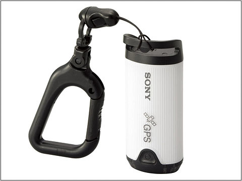
Vince’s post pointed out that Digital Photography Review has release notes on this Sony dangly thing that uses GPS to record your location and precise time at that location. When you get home and want to correlate location with your photos, it’s a simple matter of time-synchronizing with the time stamp embedded in the photos’ EXIF data.
Jeffrey Early, a graduate student at Oregon State, has a little Mac OSX app called GPSPhotoLinker that does essentially the same thing without the marketing muscle of Sony. (You have to supply your own GPS.) It’ll take your photos and, with a little magic from an iView Media Pro template, grab a piece of map from Terra Server centered on where the photo was taken. Here’s a photo Jeffrey took at Glacier Bay.
It might be that Sony introducing this as a “Sony Style” gizmo indicates that Sony expects the current digital image sharing craze to vector into the location idiom, which sort of makes sense. If there were an easy way to record location with photographs, we’d be well on our way to the creating the Ubicamera Surveillance Apparatus — it’d be a simple matter to find out what happened where, when and with whom. Cool..shudder.. On the one hand, I guess it’s cool to find out where a photo was taken, but only for curiosity’s sake. I’m not _really_ interested in the instrumental measurements of that location. It’s enough that some pals had fun at a beach in Greece or whatever. I don’t really need to know the lat/lon.
Who would be interested in the lat/lon? Do you really want to make it easy for those guys to know precisely where you are?
The tension between capturing that information for ludic and/or technofetish reasons and not providing that information for its potential to become a surveillance modality presents a tricky quandry. On the one hand, it’s cool..on the other hand, the potential for abuse might offset the coolness.